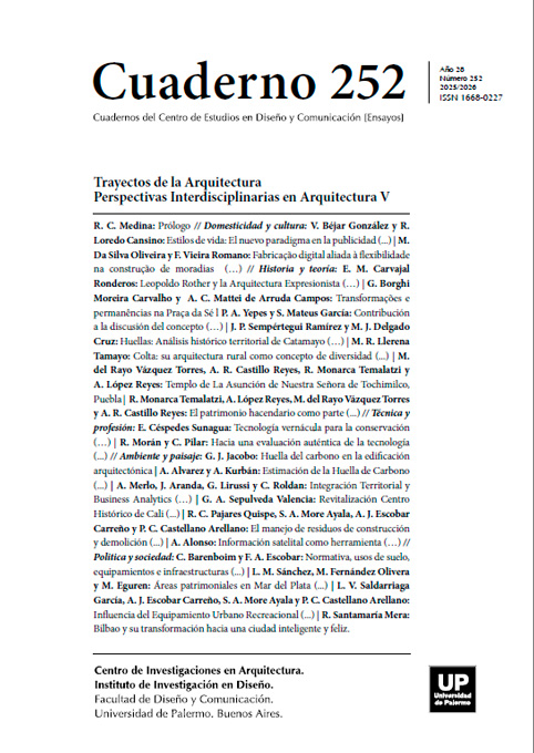
Información satelital como herramienta para el diseño habitable climático omnicomprensivo
Resumen
La habitabilidad del entorno construido necesita una observación profunda de los patrones de comportamiento humano y de las dinámicas con su entorno medioambiental.
Citas
Alexander, C. (1979). The Timeless Way of Building. Oxford University Press.
Bechtel, B., Zaksek, K., Obenbrügge, J., Kaveckis, G. Y Böhner, J. (2017). Towards a satellite based monitoring of urban air temperatures. Sustainable Cities and Society 34: 22-31. https://doi.org/10.1016/j.scs.2017.05.018
Ergun Konukcu, B., Karaman, H. y Sahin, Muhammed. (2016). Determination of building age for Istanbul buildings to be used for the earthquake damage analysis according to structural codes by using aerial and satellite images in GIS. Natural Hazards 85: 1811- 1834. DOI 10.1007/s11069-016-2666-5
Ghanea, M., Moallem, P., y Momeni, M. (2016). Building extraction from high-resolution satellite images in urban areas: recent methods and strategies against significant challenges. International Journal of Remote Sensing, 37(21): 5234–5248. https://doi.org/10.1080/01431161.2016.1230287
Gulbe, L., Caune, V. y Korats, G. (2017). Urban area thermal monitoring: Liepaja case study using satellite and aerial thermal data. International Journal of Applied Earth Observation Geoinformation 63: 45-54. https://doi.org/10.1016/j.jag.2017.07.005
Los autores/as que publiquen en esta revista ceden los derechos de autor y de publicación a "Cuadernos del Centro de Estudios de Diseño y Comunicación", Aceptando el registro de su trabajo bajo una licencia de atribución de Creative Commons, que permite a terceros utilizar lo publicado siempre que de el crédito pertinente a los autores y a esta revista.


