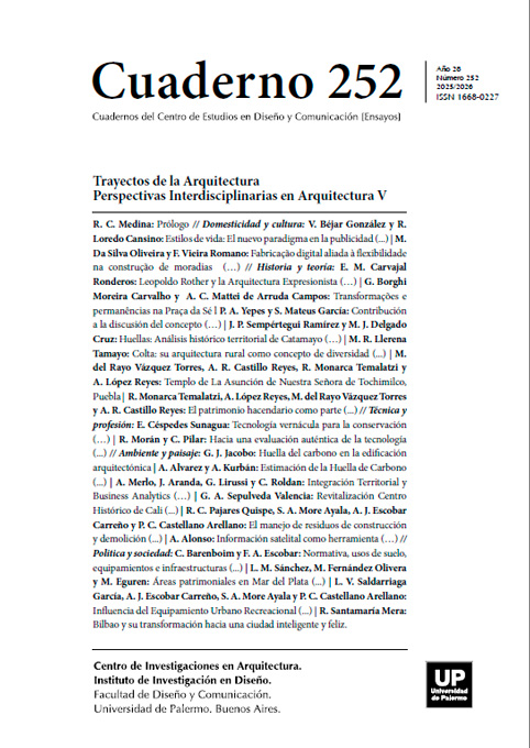
Información satelital como herramienta para el diseño habitable climático omnicomprensivo
Abstract
The built environment’s habitability requires a deep observation of the human behavior patterns and dynamics within its environmental surroundings.
References
Alexander, C. (1979). The Timeless Way of Building. Oxford University Press.
Bechtel, B., Zaksek, K., Obenbrügge, J., Kaveckis, G. Y Böhner, J. (2017). Towards a satellite based monitoring of urban air temperatures. Sustainable Cities and Society 34: 22-31. https://doi.org/10.1016/j.scs.2017.05.018
Ergun Konukcu, B., Karaman, H. y Sahin, Muhammed. (2016). Determination of building age for Istanbul buildings to be used for the earthquake damage analysis according to structural codes by using aerial and satellite images in GIS. Natural Hazards 85: 1811- 1834. DOI 10.1007/s11069-016-2666-5
Ghanea, M., Moallem, P., y Momeni, M. (2016). Building extraction from high-resolution satellite images in urban areas: recent methods and strategies against significant challenges. International Journal of Remote Sensing, 37(21): 5234–5248. https://doi.org/10.1080/01431161.2016.1230287
Gulbe, L., Caune, V. y Korats, G. (2017). Urban area thermal monitoring: Liepaja case study using satellite and aerial thermal data. International Journal of Applied Earth Observation Geoinformation 63: 45-54. https://doi.org/10.1016/j.jag.2017.07.005
Los autores/as que publiquen en esta revista ceden los derechos de autor y de publicación a "Cuadernos del Centro de Estudios de Diseño y Comunicación", Aceptando el registro de su trabajo bajo una licencia de atribución de Creative Commons, que permite a terceros utilizar lo publicado siempre que de el crédito pertinente a los autores y a esta revista.


