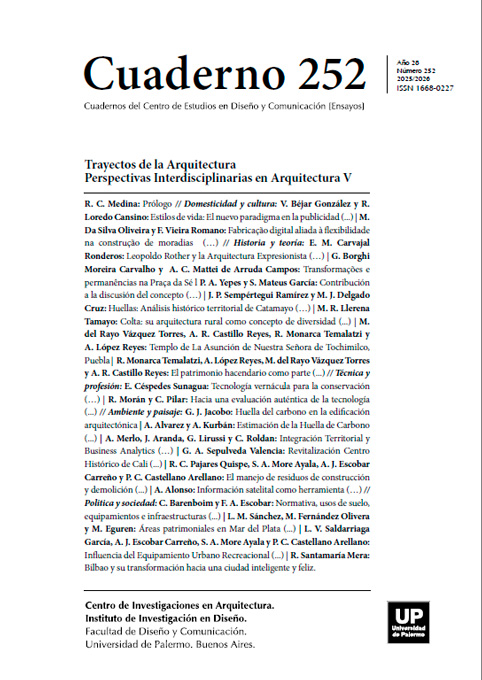
Huellas: Análisis histórico territorial de Catamayo - Ecuador 1931-1980
Abstract
The use of cartography as a tool for the interpretative analysis of historical plans has made it possible to identify the various continuities and transformations in the historical urban and architectural evolution of the city of Catamayo - Ecuador between 1931 and 1980.
References
Albito, V. (2005). Los negros de Catamayo (pp. 1–115). Imprenta Offset Imagen.
Arias Benavides, H. (2001). Catamayo en su devenir histórico (i). Cosmos.
Arias, H. (2001). Catamayo en su devenir histórico (COSMOS, Ed.). RAE. (2024). arrimado, arrimada | Definición | Diccionario de la lengua española | RAE - ASALE. https://dle.rae.es/arrimado
Bermeo, F. E. (2017). Gobiernos Intermedios: Entre lo local y lo nacional. www.flacsoandes.edu.ec
File:AGHRC (1890) - Texto explicativo - Cartas IX a XII.jpg - Wikimedia Commons. (2012). https://commons.wikimedia.org/wiki/File:AGHRC_(1890)_-_Texto_explicativo_-_Cartas_IX_a_XII.jpg
Ibarra, A. (1994). Las fronteras en America Latina al concluir la lucha por la independencia.
Ojeda, H. (2010). Tradición, historia y devoción de la Reina de El Cisne / Hernán Ojeda.
Vélez, P. (2009). Desarrollo del Cantón Catamayo : desde lo local a lo regional. FLACSO.
Los autores/as que publiquen en esta revista ceden los derechos de autor y de publicación a "Cuadernos del Centro de Estudios de Diseño y Comunicación", Aceptando el registro de su trabajo bajo una licencia de atribución de Creative Commons, que permite a terceros utilizar lo publicado siempre que de el crédito pertinente a los autores y a esta revista.


